
Download Area
SIT the PRG Brochure
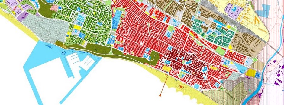
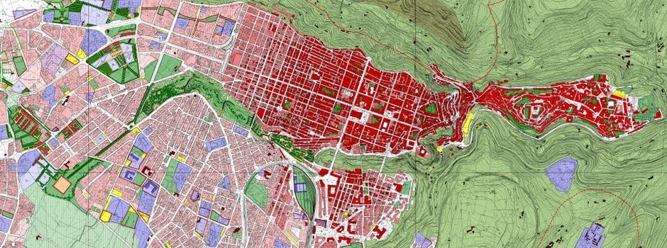
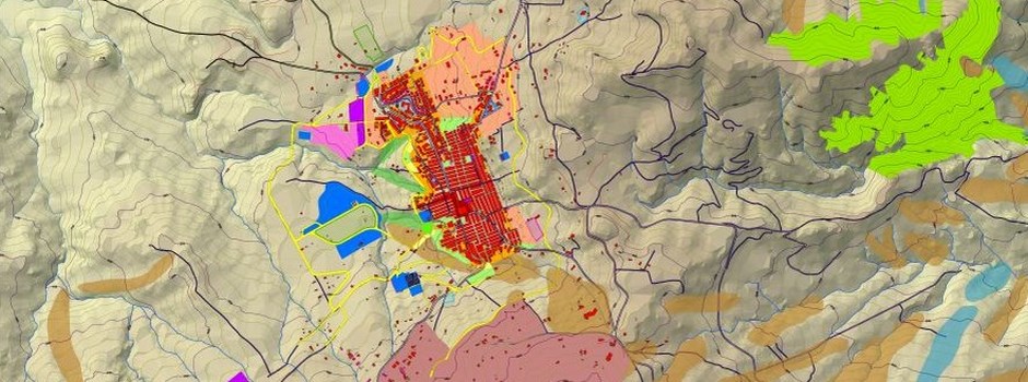
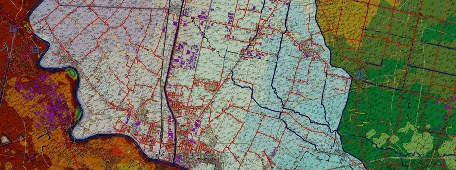
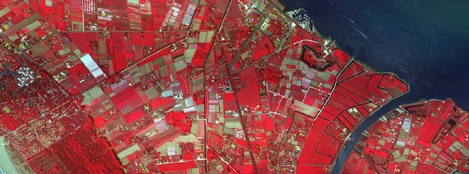
With the aim of strengthening the services offered to citizens and municipal technicians through computerization and innovation, it is proposed a project for the implementation of the geographic information system (SIT), which allows viewing of existing urban constraints and bands of respect for urban-territorial nature, landscape and environmental risk areas/hydrogeological and geomorphological hazards (PAI) and the technical and areofotogrammetriche maps published by the Sicilian region.
Web Gis Brochure PRG
✔ With WebGIS, maps and GIS applications traditionally developed for professional users can be implemented on web-server allowing the network interaction with the maps and associated data. WebGIS-applications are usable through the most common internet browser and does not therefore require, in their consultation, nor special software or skills. This characteristic makes them particularly useful in the dissemination of geographic information systems (GIS) of the regions, provinces and municipalities.
✔ Through the innovative technology of the WebGIS, you can make it accessible to the citizens environmental information, urban, socio-economic and geographic coverage of their city.
✔ For professional operators, on the other hand, the WebGIS constitutes a useful tool for acquiring information that are traditionally available only at municipal offices.
It lightens, in this way, the front-office job in the Government with a substantial savings of time and expense.
✔ The WebGIS allows municipal offices to share spatial information internally processed by different sectors (constraints, cadastral data, planning, technological networks, public goods, etc.) and to simplify the drafting of certain documents or certifications (p.es. urban target certificate).
✔ the use of Open Source Software, relieves administration from acquisition cost and use.
Training Brochure
GISTERR makes available its experience in providing training to all professionals, or would-be, specific courses not only aimed at the use of CAD and GIS applications, but also on techno-Practical insights about the profession of territorial planning. Specifically, we organize training courses or individual training modules related to the PRG and the VAS.
The courses can be carried out either at our premises or at external locations, specially equipped and equipped with all comforts.