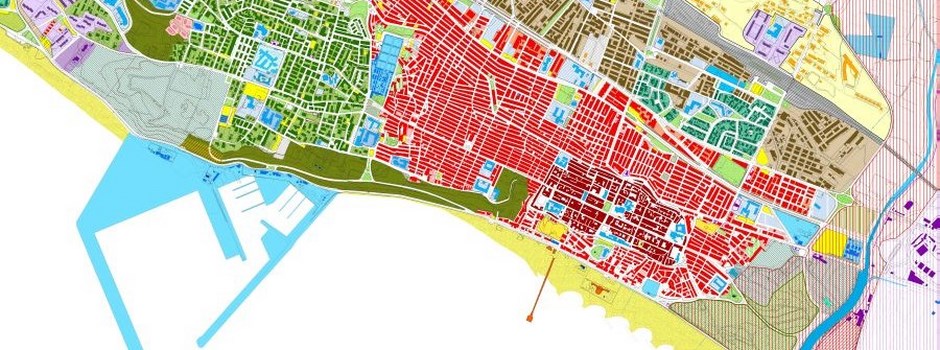
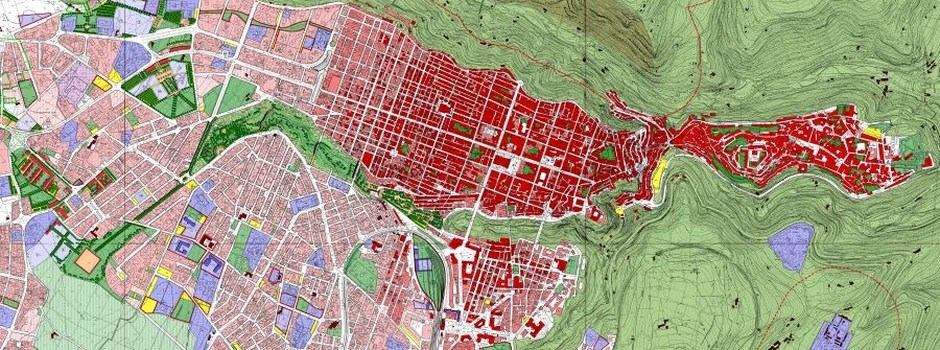
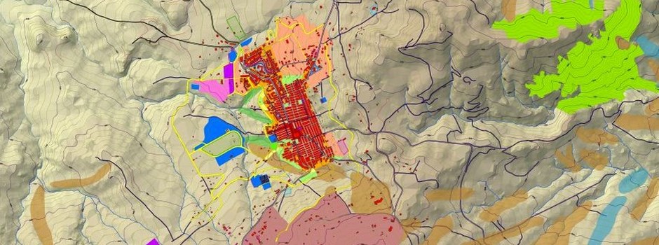
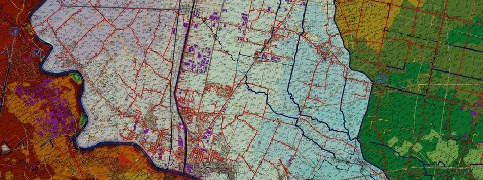
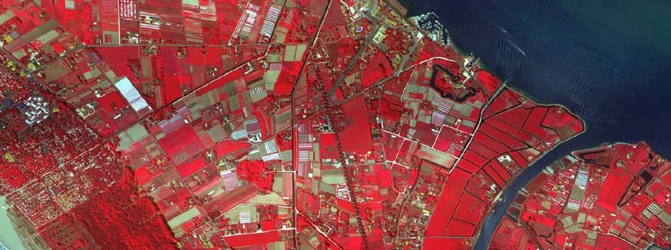

Remote Sensing
Object-oriented classification
Set of techniques, tools and interpretive media that allow you to extend and enhance perceptive capabilities of the eye, providing the observer qualitative and quantitative information on objects at a distance, and then on the surrounding environment.
The potential and the results offered by remote sensing are many if one considers the relative ease of getting information of any kind (especially environmental parameters), in short time, repeated over time, or even in some cases almost continues, with a large spatial coverage, with greater objectivity and precision and also with greater overall efficiency compared to conventional detection methods.
Precision agriculture
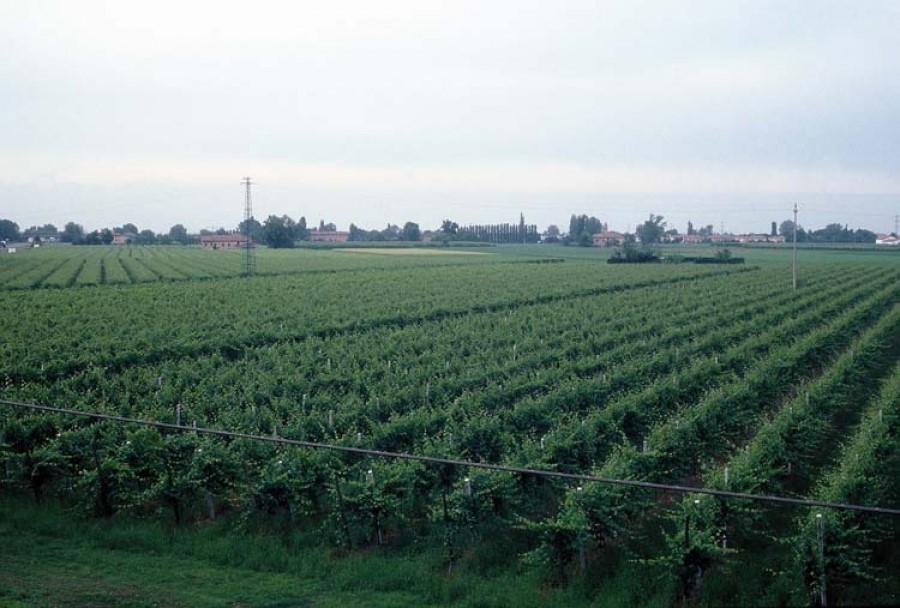
Today more and more new farms cannot overlook the potential of new technologies, in order to adapt farming practices to environmental variability. This variability must be identified, interpreted and managed by farmer.
Through precision agriculture, today we have measuring systems based on application of lasers, GPS technology, ICT and advanced sensors capable of operating both in the field and in agrometeorological measures, irrigation management, both in non-destructive measurements of product quality and environmental conditions of storage and transport.
Through crop prescription maps, updated in real time, every single step of the field can be treated exactly according to its real and specific characteristics and conditions (requirement of fertilizer, water and pesticides).
The main advantages of using these agricultural practices are:
- More made achievable and/or better quality of productions
- Cost savings resulting from the reduction of inputs used
- Environmental benefits arising from a lower pressure on the ecosystem